







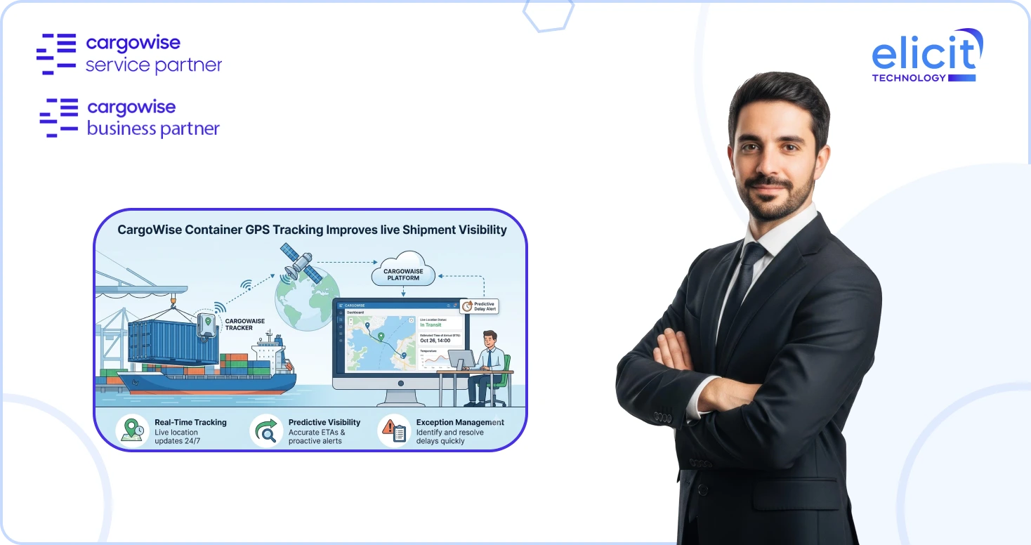
Knowing that a container left the port is useful. Knowing where that container is moving between major tracking events can be far more valuable.
CargoWise has expanded Cargo Tracker visibility by bringing live GPS positioning into the shipment view for supported ocean containers equipped with active IoT tracking devices. Instead of relying only on vessel positions and milestone events, users can see the container’s latest detected position and historical land-side movements in Cargo Tracker.
For freight forwarders managing ocean shipments and inland movements, this creates another layer of visibility between traditional logistics milestones.
What is Live Container GPS Positioning in CargoWise?
Cargo Tracker already provides map-based shipment visibility using vessel Automatic Identification System (AIS) data, vessel port calls, and container tracking events. The live positioning capability adds GPS information from active Internet of Things (IoT) devices installed on supported containers.
This distinction matters.
Traditional tracking may tell an operator that a container has completed a particular milestone. GPS positioning can provide additional visibility into where a supported container has been detected between those events, particularly during land-side movements.
When GPS information is available, Cargo Tracker indicates that live position data is available and also shows when that position was last detected.
As of the August 10, 2026 CargoWise documentation, this live container positioning is currently available for Hapag-Lloyd dry containers equipped with IoT tracking devices. Customers need to contact their Hapag-Lloyd representative to sign up for the service.
That scope is important: this should not be interpreted as GPS visibility for every container, carrier, or CargoWise shipment.
Why does Container-Level Visibility Matter?
Ocean freight visibility has traditionally been heavily centered around vessels and logistics events. But a container’s journey extends beyond its time onboard a vessel.
Consider what happens after discharge.
The vessel has arrived, but the container itself may still move through terminals, rail connections, inland transportation, yards, and other land-side points before reaching its destination.
This is where container-level positioning becomes useful. CargoWise states that the capability provides visibility into container movements between port events, helping users monitor inland activity and plan operations more effectively.
For an operations team, that means Cargo Tracker can provide a more connected picture of the journey rather than requiring users to interpret vessel and milestone information alone.
How do You Access Live Container Positioning in Cargo Tracker?
Cargo Tracker can be accessed from Forwarding Consol records.
From the Consol record, users select the Visibility button. CargoWise then opens the Cargo Tracker portal in the user’s default web browser.
The Cargo Tracker view displays information such as the job’s transport legs, containers and their locations, as well as completed and remaining sections of the journey. The example on pages 3 and 4 of the CargoWise guide shows this transition directly from the Consol record into the map-based Cargo Tracker interface.
When a container has an active supported tracking device, Cargo Tracker displays a live-position indicator together with information about when that position was last detected.
Containers without an active tracking device will not show this live-position indicator.
What can Users See on the Cargo Tracker Map?
Selecting a supported container with an active tracking device opens up more detailed position information.
CargoWise states that the map can show:
- The container’s most recent live position
- Historical land-side positions recorded since the container was picked up empty
Users can zoom into the map to inspect these land-side positions in greater detail. GPS-derived positions are visually distinguished from vessel movements, while the vessel’s historical and projected movements continue to use the standard vessel-tracking indicators.
This creates a useful combination of container GPS information and vessel tracking context within the same visibility environment.
Why does CargoWise Cluster GPS Positions?
GPS data isn’t always as simple as a moving dot on a map.
Coordinates can change slightly even while a container remains stationary. If every small coordinate change appeared independently, the map could quickly become cluttered and potentially make movement harder to interpret.
Cargo Tracker therefore uses clustering logic to group nearby positions, making the container’s movements easier to follow.
This is an important practical detail because useful visibility isn’t just about collecting more location data. The information also needs to be presented in a way operators can understand quickly.
How do the Cargo Tracker Waypoint Markers Work?
Cargo Tracker uses visual markers to help users understand what has happened during the container’s journey.
According to the CargoWise guide:
- Orange waypoints represent historical stationary positions where the container paused.
- A green waypoint represents the current position of a moving container.
- A gray dot indicates that there has been no position update for more than 24 hours.
Users can select an orange waypoint to see additional information, including the local time at that location and the total amount of time the container remained idle.
That can provide useful context when reviewing a land-side journey. Instead of only seeing that a container traveled between two locations, an operator can identify where a tracked container stopped and how long it remained there.
What do the Numbered Markers Tell You?
GPS positions are only one part of the Cargo Tracker map.
CargoWise also uses numbered markers for key container tracking events, including:
- Gate In
- Gate Out
- Load
- Discharge
- Arrival
- Departure
The numbering follows the sequence of the tracking journey, with “1” representing the earliest container tracking event.
This helps connect physical GPS movements with recognizable operational milestones.
For example, an operator can review the sequence of container events while also examining the live and historical position information available around the land-side portions of the journey.
Street and Satellite Views Add More Location Context
Cargo Tracker also allows users to switch between Street and Satellite map views.
The CargoWise documentation notes that these options can help users pinpoint a container’s precise land-side location. The example on page 7 demonstrates the satellite view alongside a container position, idle duration, local time, and location information.
For operators working with inland movements, this can provide more context than a simple milestone status.
It moves the conversation from:
“Has the next event been recorded?”
toward:
“Where was the container last detected, and what has its movement looked like?”
How can Freight Forwarders Use this Visibility?
The real value of CargoWise container GPS tracking isn’t the map itself. It’s what operators can do with better location context.
When supported tracking data is available, teams can use Cargo Tracker to understand container movements between traditional port events, review historical land-side positions, identify extended stationary periods, and see when the latest GPS position was recorded.
That information can support more informed operational planning and customer conversations.
It can also reduce the gap between major tracking events. Rather than waiting solely for the next milestone to understand progress, an operator has another source of shipment context available within Cargo Tracker.
However, teams should interpret the information correctly. A GPS position is a visibility signal, not automatically proof that an operational exception has occurred. The broader job, routing, milestones, and other available tracking information still matter.
What are the Current Limitations?
Understanding the scope is just as important as understanding the functionality.
Based on the August 2026 CargoWise guidance, live position information is currently available for Hapag-Lloyd dry containers equipped with active IoT tracking devices. Containers without active supported tracking devices won’t display the live-position indicator.
Users should therefore avoid assuming that every ocean shipment in CargoWise will automatically provide real-time container GPS tracking.
Availability depends on the container and supported tracking service.
This distinction is particularly important when businesses are planning customer visibility processes or internal workflows around GPS information.
How Elicit Helps You Get More from CargoWise Visibility?
Having more data available in CargoWise is only the first step. The bigger question is how that visibility fits into your actual forwarding workflows, exception management, customer communication, reporting, and operational processes.
As a CargoWise Service and Business Partner, Elicit Technology helps freight forwarders configure and optimize CargoWise around their operational requirements. We support businesses with CargoWise Forwarding, workflow optimization, automation, integrations, reporting, configuration, and ongoing system support.
If your team is exploring Cargo Tracker, Container Automation, or broader CargoWise visibility capabilities, the goal shouldn’t simply be to switch on another feature. It should be to make that information useful within the way your team actually works.
Conclusion
CargoWise’s live container positioning adds an important layer to ocean freight visibility by bringing supported IoT GPS information alongside vessel movements and container tracking events.
For eligible containers, operators can see the latest detected position, historical land-side movements, stationary waypoints, idle duration, and key tracking events from within Cargo Tracker. That provides greater context around what happens between traditional shipment milestones.
But like any CargoWise capability, the real value comes from using it correctly within your broader operational processes.
If you’re looking to improve CargoWise visibility, workflows, automation, or forwarding processes, working with an experienced CargoWise Service Partner can help you determine how these capabilities should fit into your business. Contact us today so that we can help you configure, optimize, and connect CargoWise functionality around the way your freight operations actually run.